Applied Case: China Gives the Moon a Cool Style Guide
Space Race 2.5 Pro
China has given the Moon a cool style guide.
This is a good thing.
I am aware that sentence may require a brief adjustment period around here.
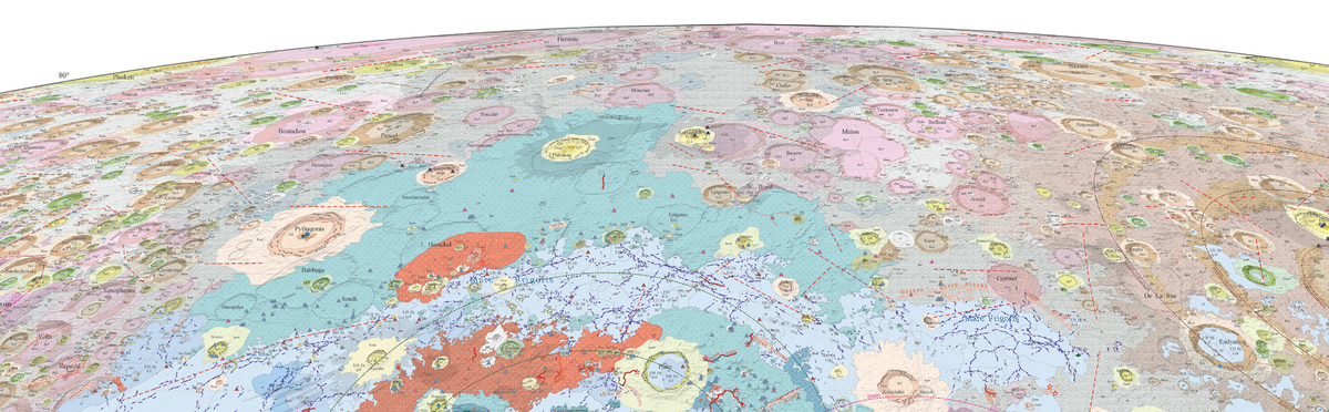
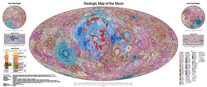
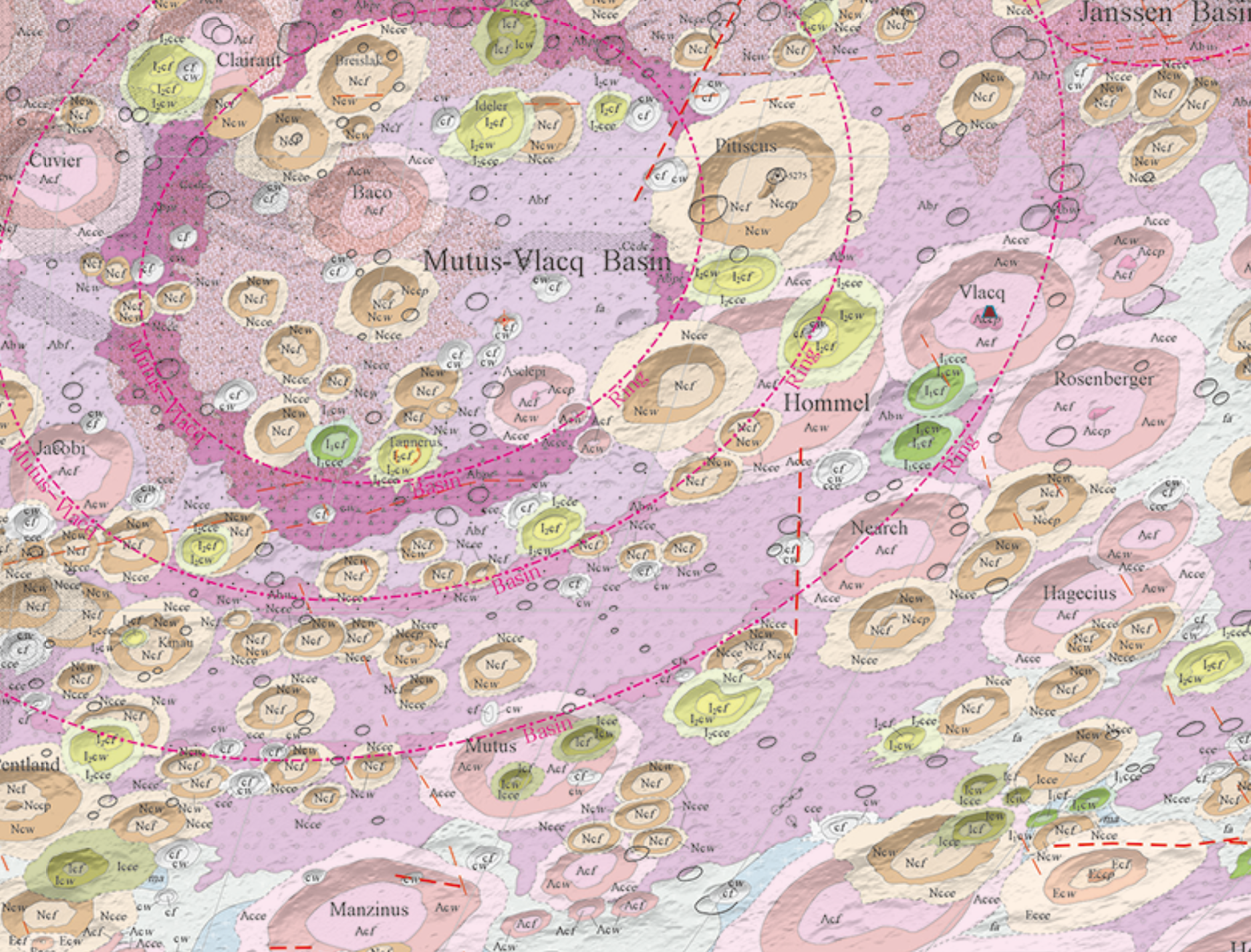
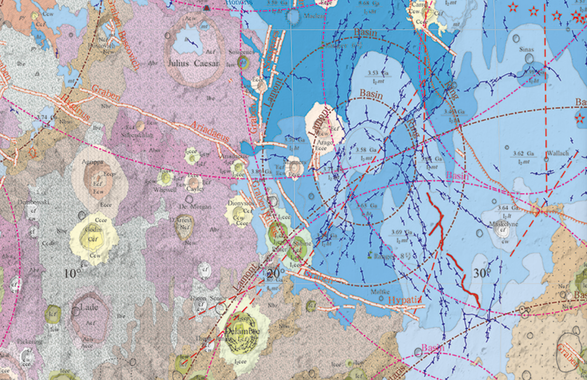
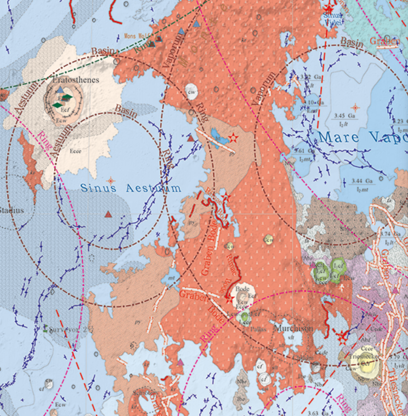
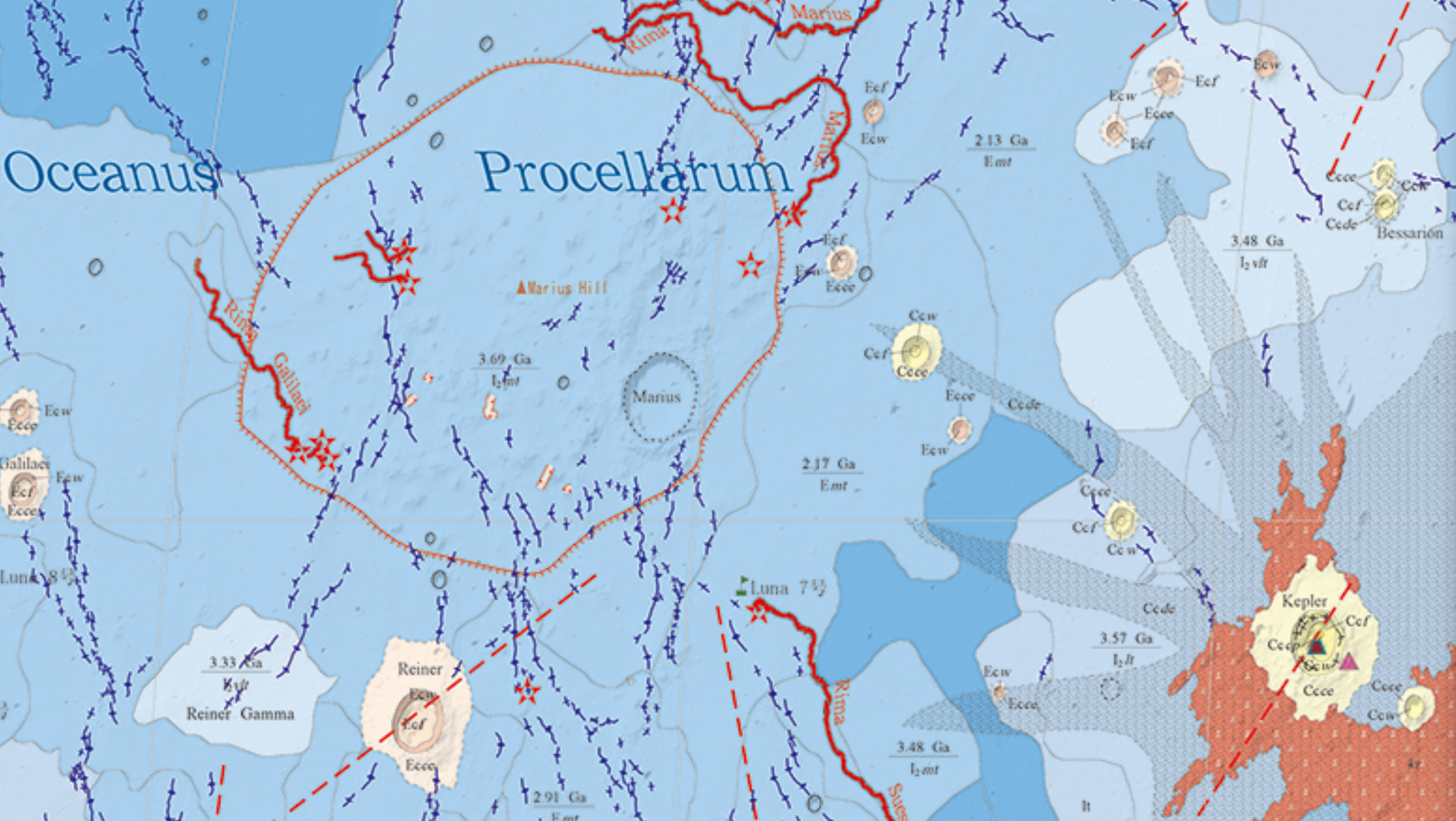
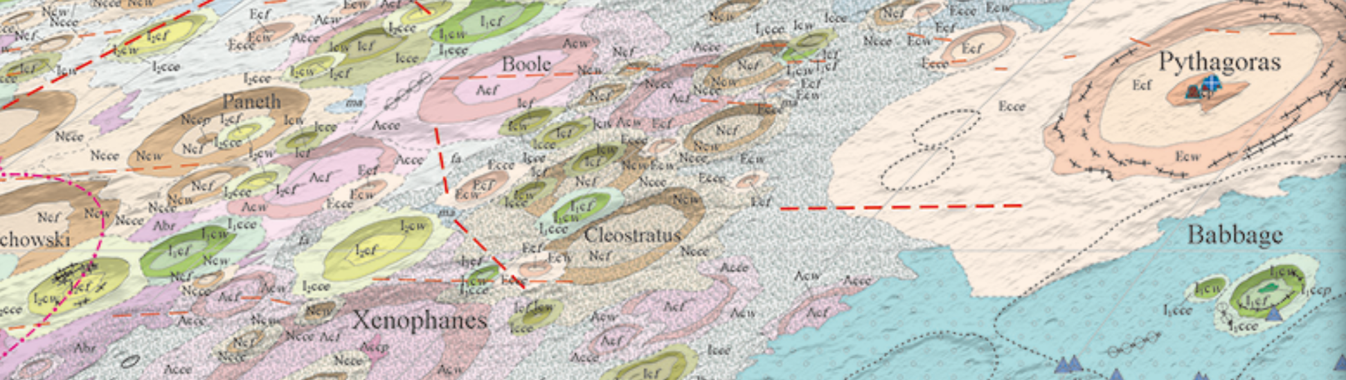
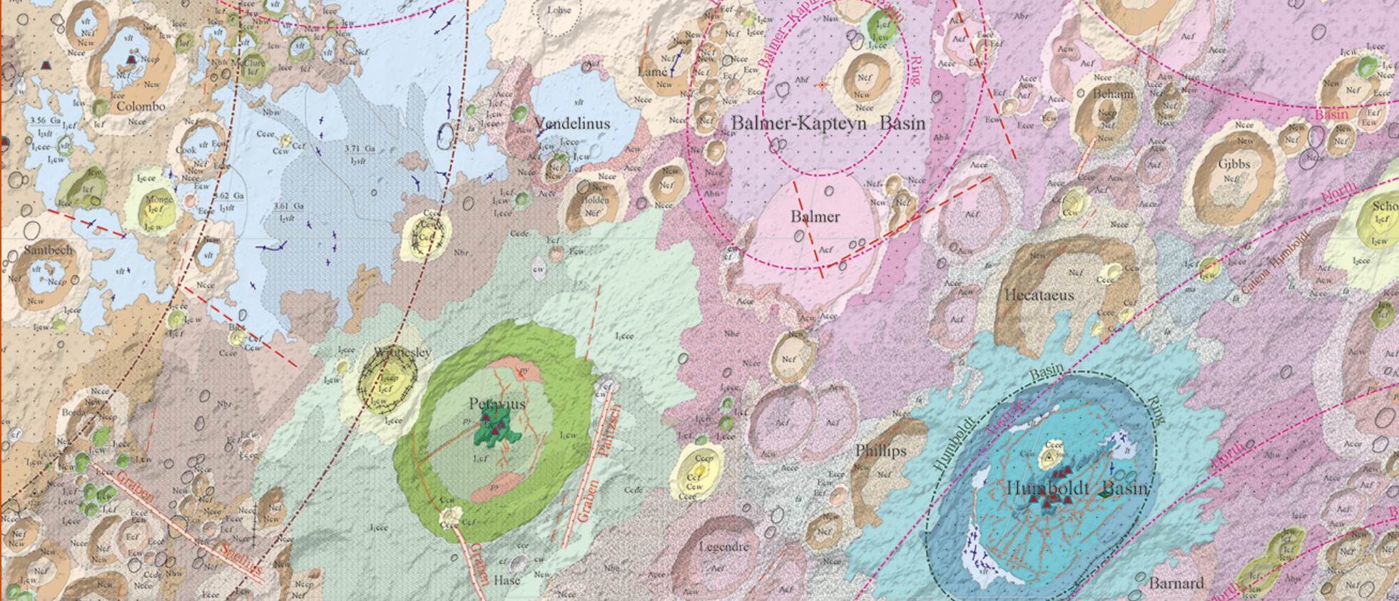
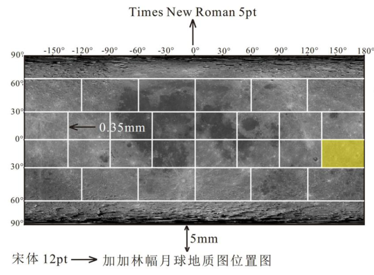
China's new 1:5-million geological map of the Moon is about 2.8 meters wide, contains 13,519 mapped impact craters and 81 impact basins, incorporates new findings from the Chang'e program, revises parts of the lunar geological chronology, and expands the mapped distribution of KREEP-rich terrain.
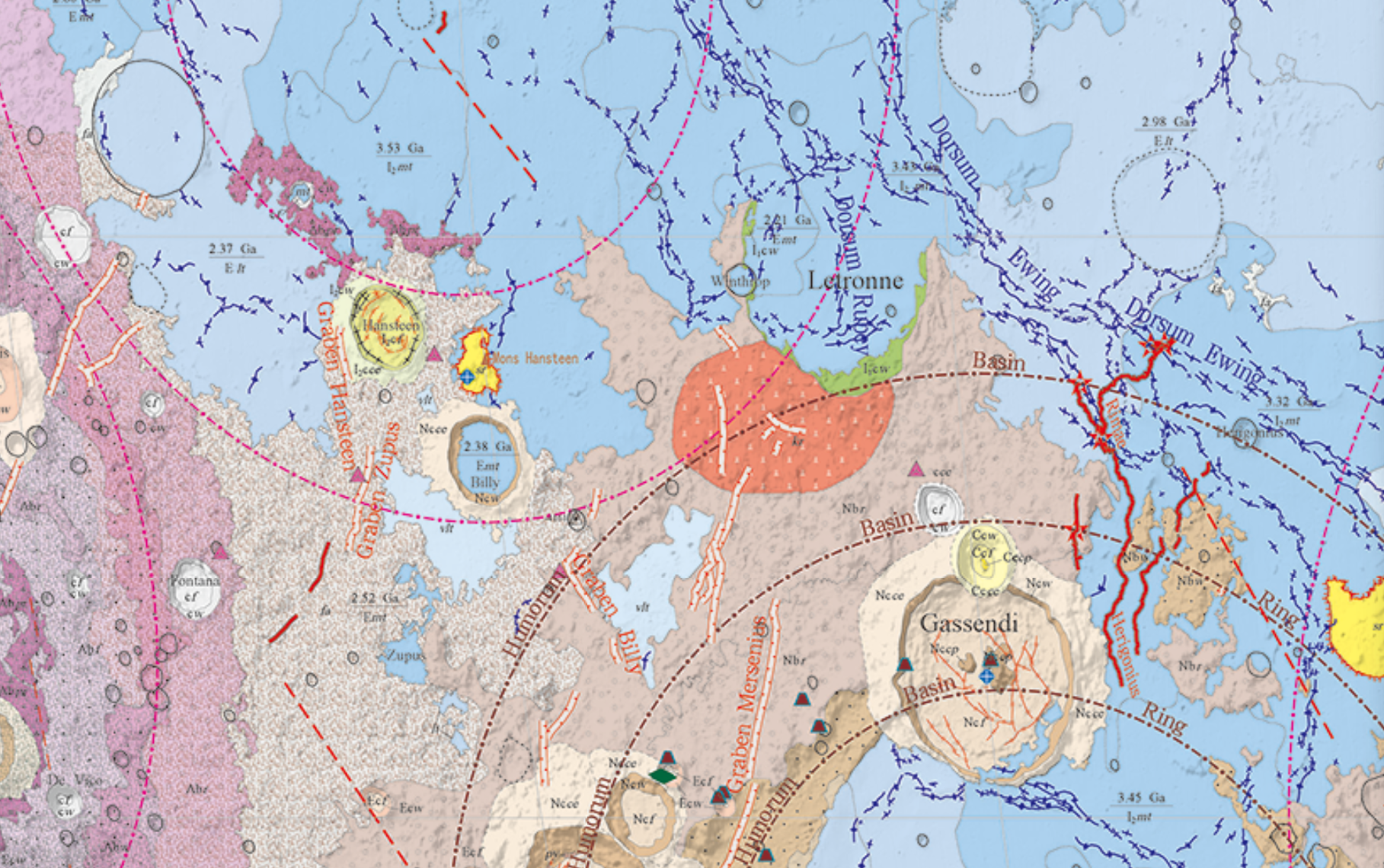
It is also extremely concerned with what color everything should be.
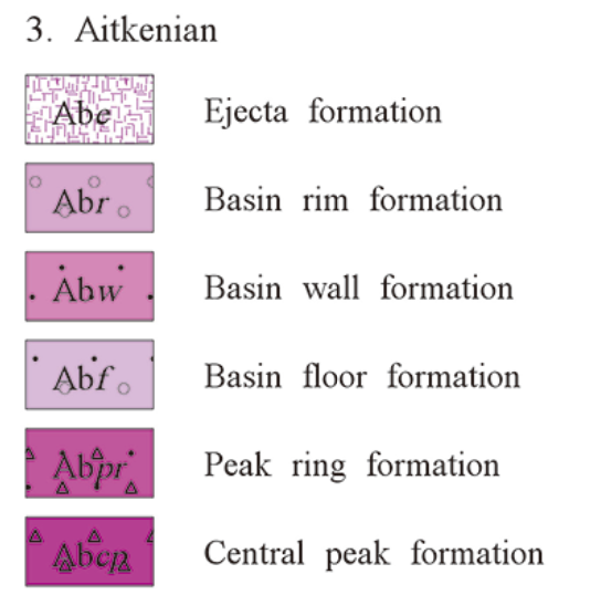
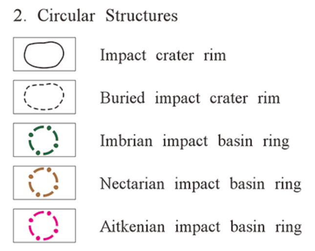
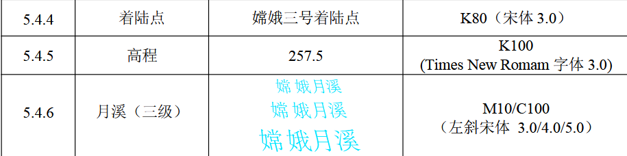
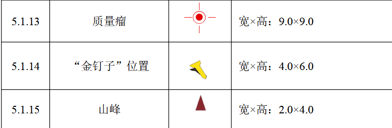
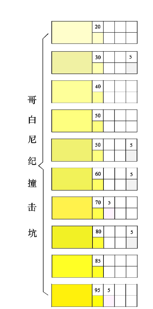
Chinese researchers have developed a formal cartographic standard governing the symbols, annotations, colors, and layout used in their lunar geological maps. The standard even distinguishes landing sites belonging to Chang'e, Apollo, Luna, and everybody else.
- Chang'e gets a symbol.
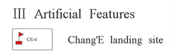
- Apollo gets a symbol.

- Luna gets a symbol.

- Other spacecraft have been assigned the distinguished cartographic category of other spacecraft.
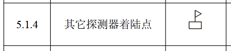
Humanity has reached another celestial body and immediately begun organizing the legend.
Space Race 2.5 Pro is officially underway.
Please Consult the Lunar Brand Guidelines.
The amazing document is T/GSC 011-2025: Cartographic Symbols and Colour Specification for the Geological Map of the Moon.
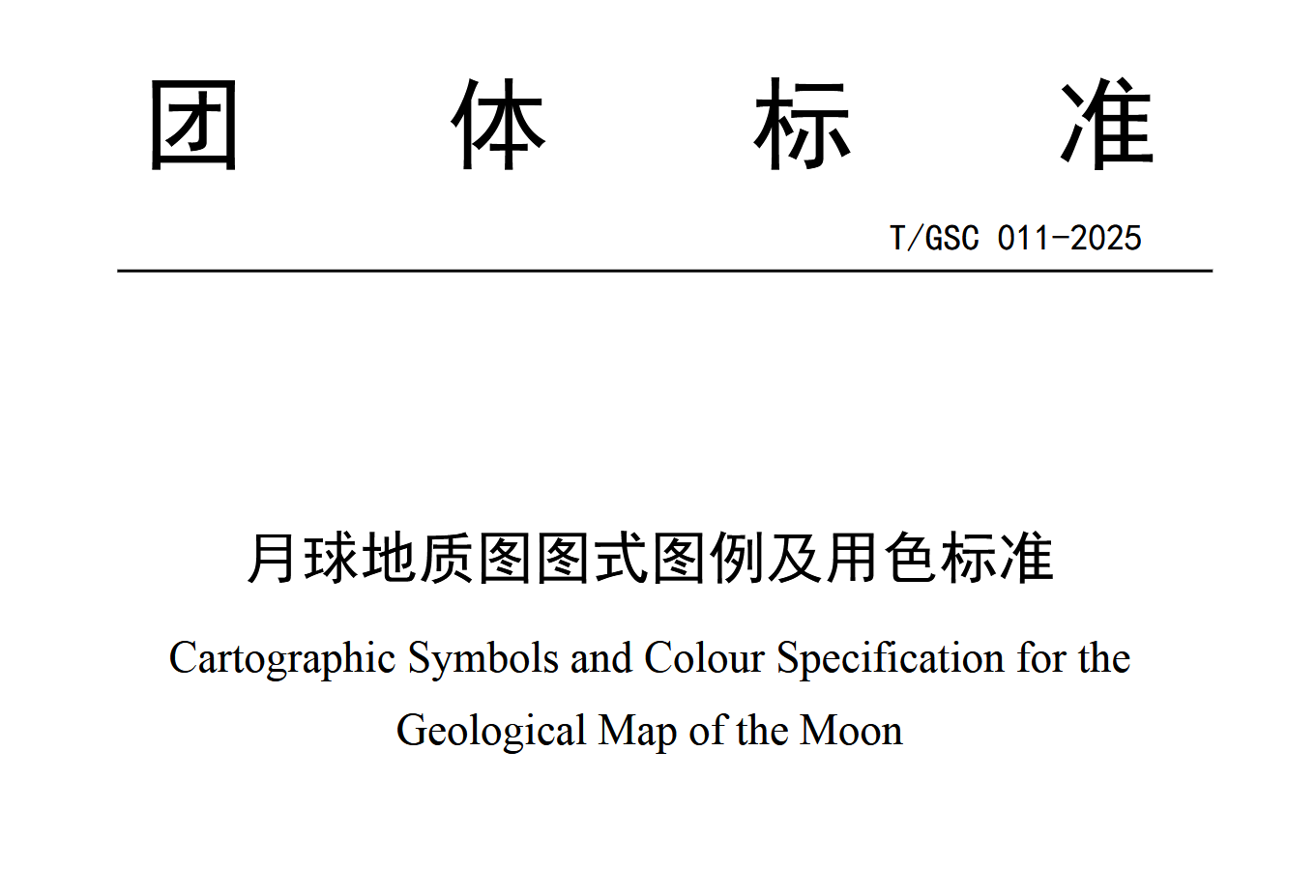
The Geological Society of China lists it as a current public standard. Its actual jurisdiction is wonderfully specific.

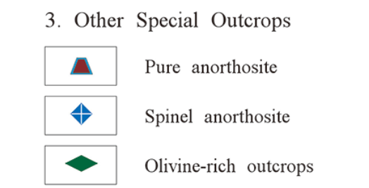
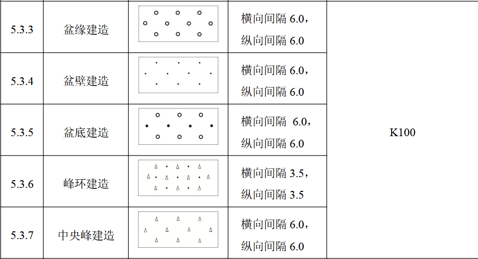
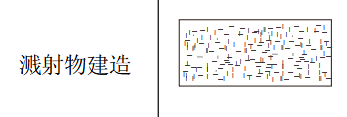
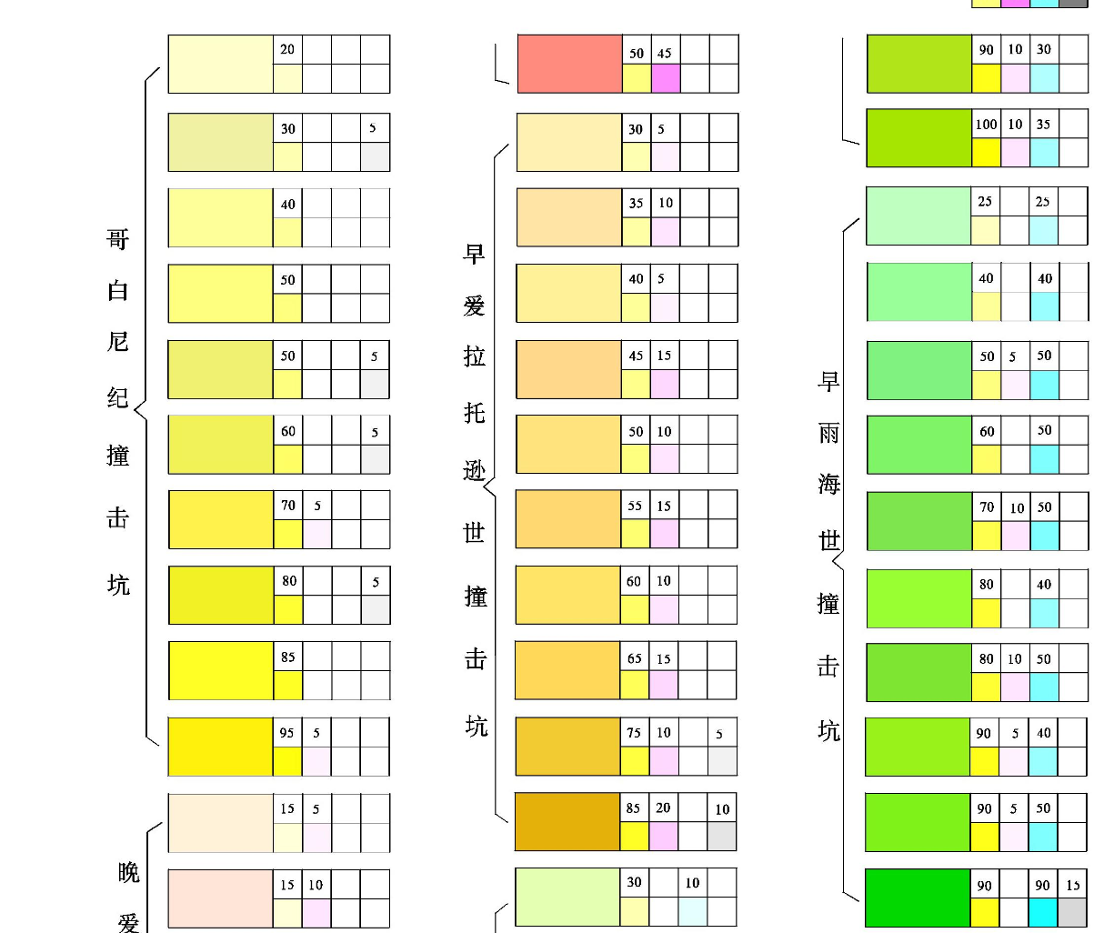
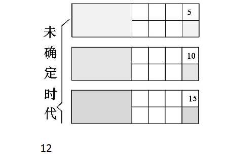
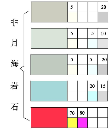
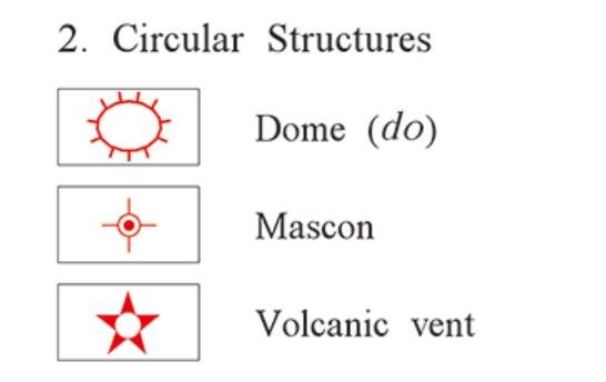
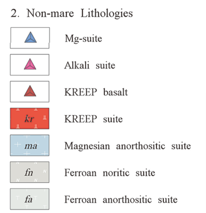
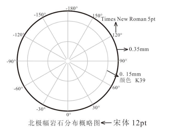
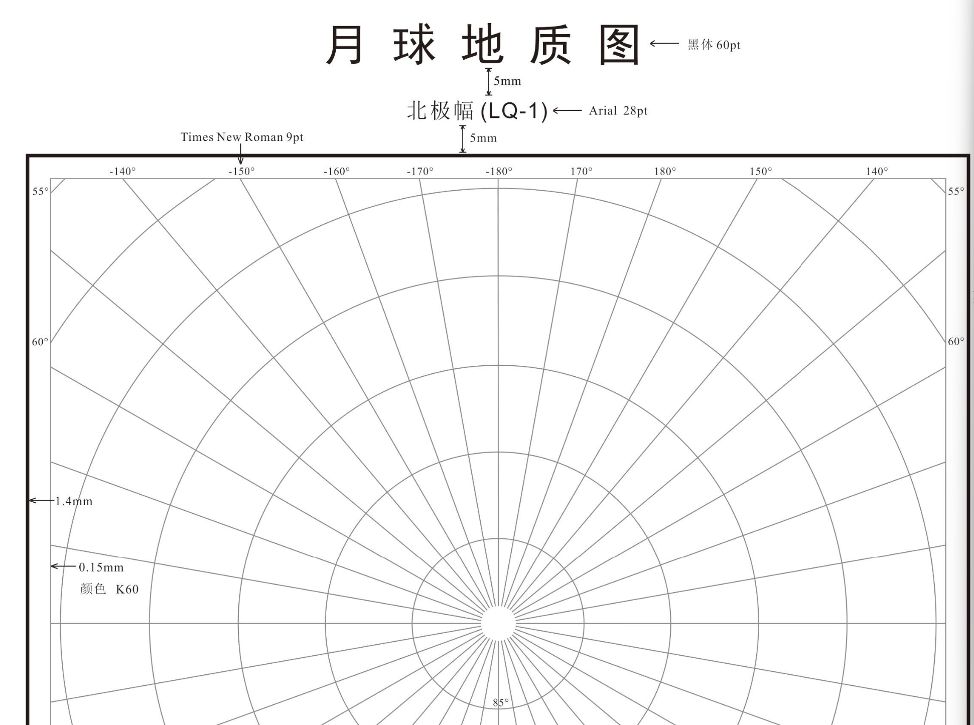
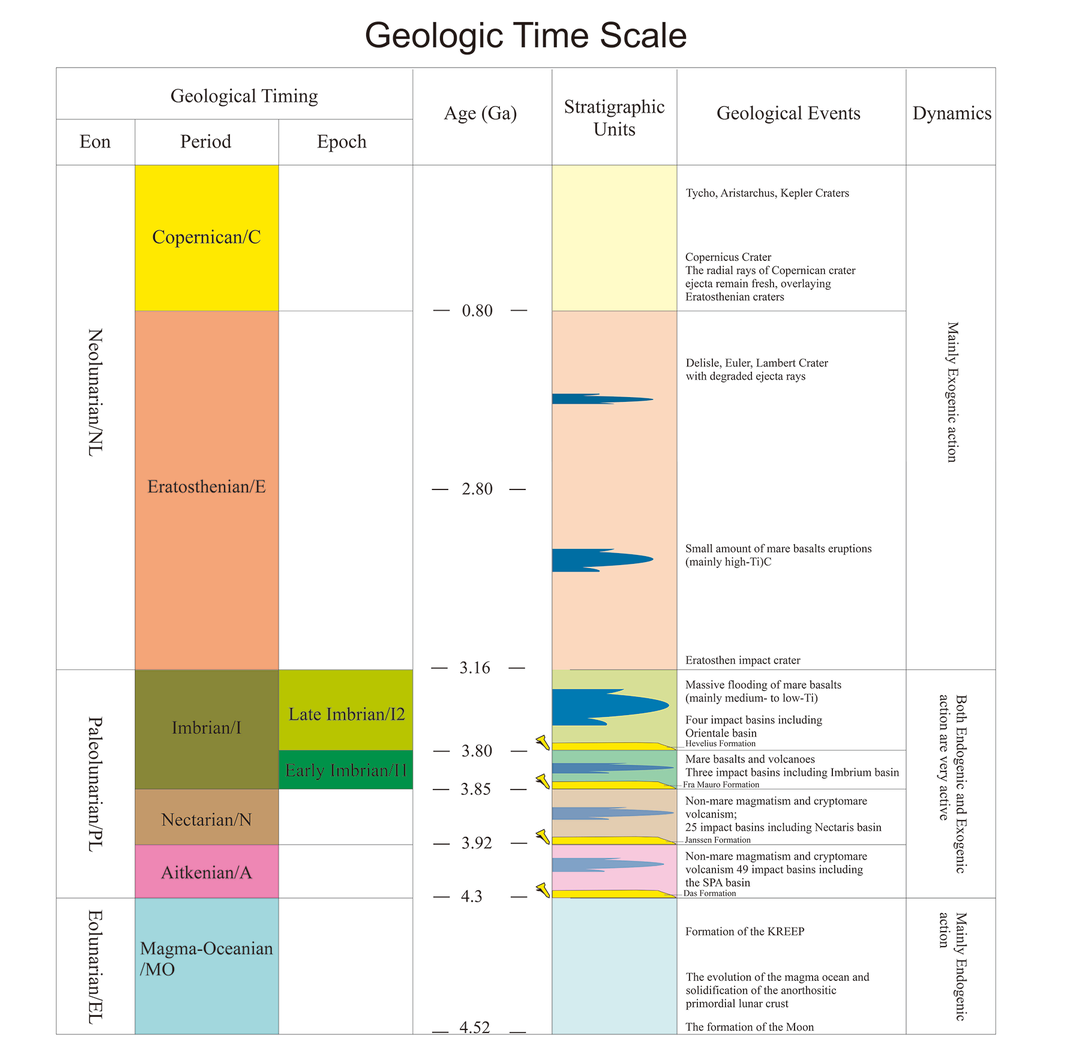
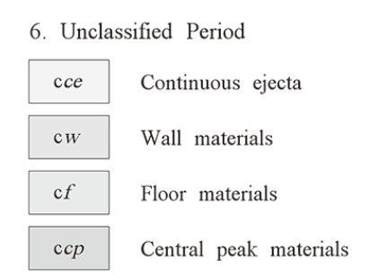
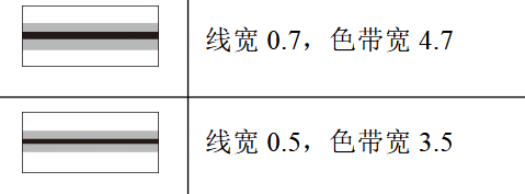
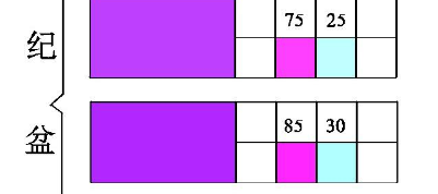
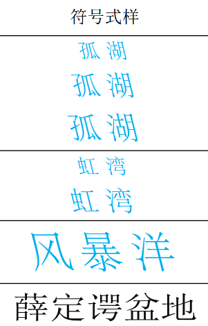
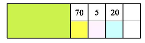
It tells mapmakers how to represent point features, line features and geological areas. It specifies symbol dimensions. It establishes annotation rules. It tells geological formations how to dress. Younger formations generally receive lighter colors and older formations darker ones. It accounts for hill-shaded relief. It specifies how lunar landing sites, faults, crater chains, domes, rilles, rock suites, impact basins and other features should appear.
This thing has opinions about the correct number of millimeters for a Moon symbol.
Good.
Someone should.
The interesting part is that China is no longer treating this as an isolated cartographic project.
Chinese researchers describe the new map as part of a movement from following inherited mapping systems toward making standards of their own. The color system intentionally incorporates Chinese traditional aesthetics alongside geological chronology. The same approach is expected to inform later Chinese geological mapping of Mars, asteroids, and other bodies.
One researcher described the result as allowing planetary geological mapping to, effectively, speak Chinese.
This is an extremely charming way for a space race to escalate.
The United States landed people on the Moon.
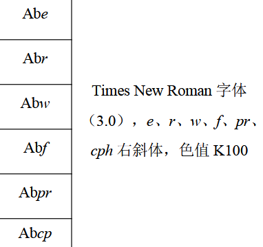
China has responded by developing a competing ontology for the PDF.
China Gets a Win.
There is a very tempting paranoid version of this story.
- China is creating its own lunar standards.
- China wants independence from foreign standards.
- Standards shape infrastructure.
- Infrastructure creates dependence.
- Dependence creates power.
- Infrastructure creates dependence.
- Standards shape infrastructure.
- China wants independence from foreign standards.
Therefore:
THE MOON HAS FALLEN.
But no.
The interesting thing here is that China is doing something considerably more reasonable.
Chinese lunar mapping did not appear from a sealed national epistemology. The program uses Chang'e observations and samples alongside international research and mission data. The Chinese standard itself cites the USGS Planetary Geologic Mapping Handbook, previous American lunar geological mapping work, and earlier international lunar maps alongside Chinese sources. China's 2024 high-resolution lunar atlas was likewise described by the Chinese Academy of Sciences as integrating Chang'e data with existing domestic and international observations and research.
So China did something we should recognize from much closer to home.
- It inherited an existing technical field.
- It learned the field.
- It contributed new evidence to the field.
- Then it built enough internal capacity that continuing to participate no longer required permanent dependence on somebody else's implementation of the field.
- It contributed new evidence to the field.
- It learned the field.
That is good.
Modal Path Ethics has already argued, in Field Instruments: Open Weights and the Release Gradient, that genuine plurality requires more than formal access. A field needs the practical capacity to inspect, operate, adapt, preserve, challenge and replace consequential instruments. One universal system becomes the tower. Thousands of incompatible systems become the locked hallway.
The commons is the city between them.
China building another competent lunar cartographic tradition is not a failure of that architecture.
That may be evidence that the architecture is working.
Space Race 2.5 Pro.
The first Space Race was so much easier to put on television.
- There was a rocket.
- There was another rocket.
- Someone put a flag somewhere.
- Everyone understood the scoreboard.
- Someone put a flag somewhere.
Space Race 2.5 Pro is substantially worse programming.
The great powers are now approaching the Moon with:
- geological standards;
- coordinate systems;
- communications protocols;
- navigation signals;
- timing systems;
- data formats;
- relay architectures;
- interoperability specifications;
- and committees with very serious opinions about interfaces.
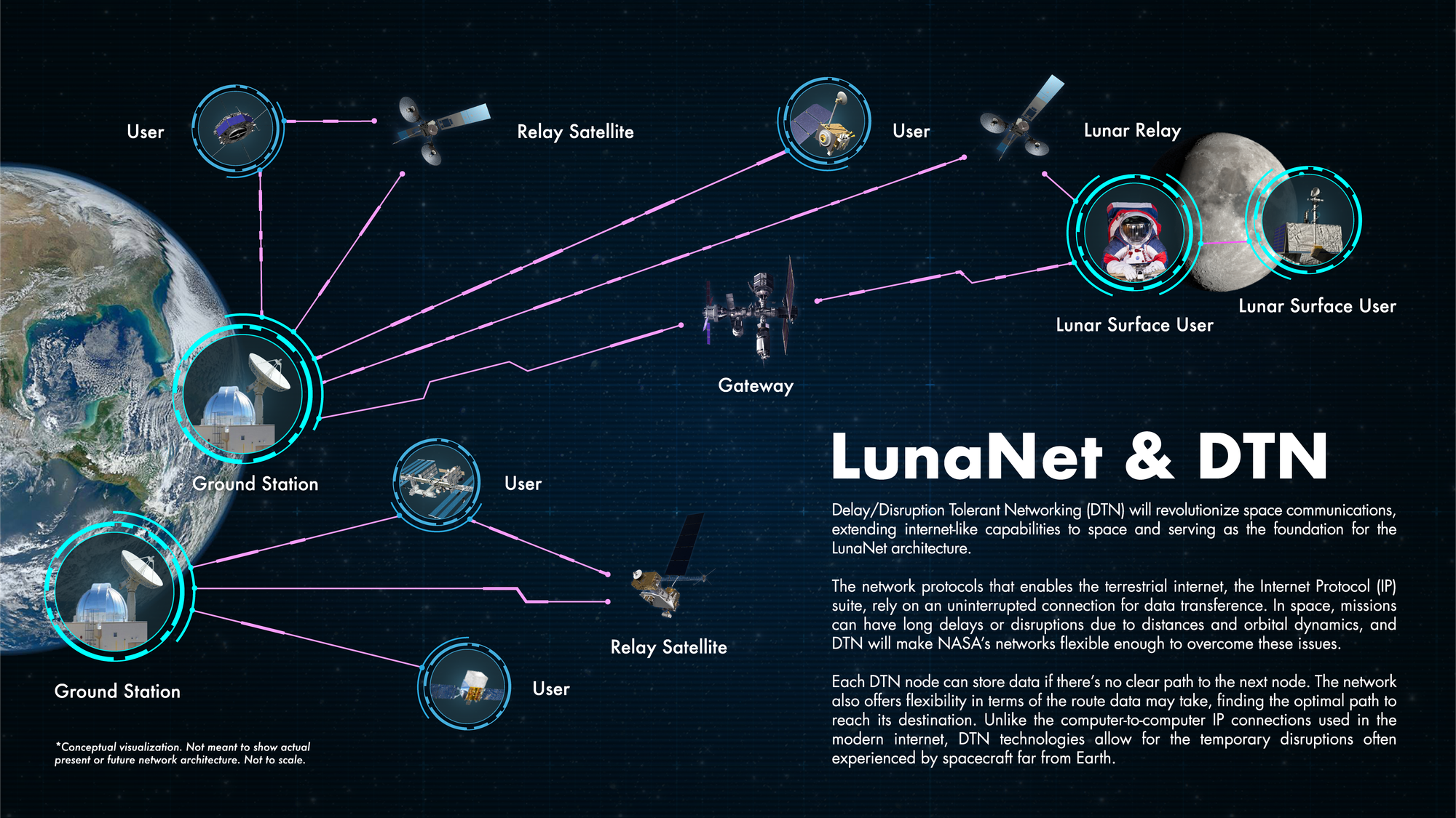
NASA, the European Space Agency and the Japan Aerospace Exploration Agency are collaboratively developing LunaNet around exactly this problem.
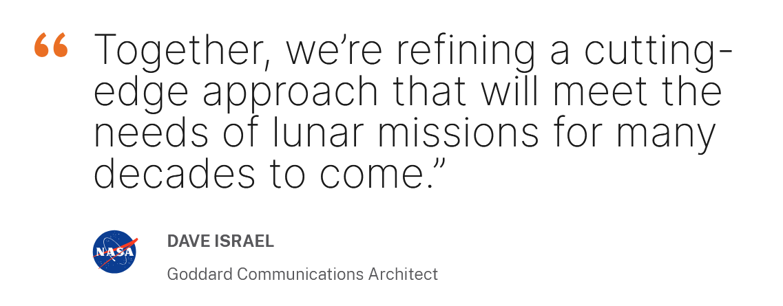
LunaNet is intended as a network of cooperating lunar networks providing communications and position, navigation and timing services through mutually agreed standards and interfaces. The architecture is explicitly designed so different government and commercial providers can interoperate rather than forcing every lunar mission through one provider.
NASA's current specification compares the idea to the terrestrial Internet. A lunar user should eventually be able to receive the same class of service from different providers through standardized access points.
This is the part of the new space race worth watching.
The contest is slowly moving beyond:
Who can reach the Moon?
Toward:
What can everyone else still use after they get there?
Those are different races.
- A launch vehicle gets you somewhere.
- A standard helps decide what happens after arrival.

Independence Is Not Isolation.
Standards are strange instruments because successful standards are supposed to disappear.
Nobody wants to begin every phone call by negotiating a new telecommunications protocol.
Nobody wants every website to require its own private Internet.
Nobody wants a rover to encounter three navigation satellites and discover that each one has invented longitude again.
A good standard removes coordination work.

That is precisely why standards can accumulate power.
Once enough machines, institutions, records, training systems and workflows assume one common grammar, changing the grammar becomes expensive.
- The standard starts as a bridge.
- Then everyone builds near the bridge.
- Then someone suggests replacing the bridge and discovers that the whole town has been zoned around it.
That does not make the bridge evil. It makes the bridge important.
The constitutional problem begins when importance becomes title.
China's lunar mapping program gives us a surprisingly healthy version of the opposite move. It is trying to gain independence without requiring isolation.
Its researchers can draw the Moon through a Chinese-developed geological language without pretending American work never existed. The standard can cite USGS mapping guidance while departing from inherited American categories. Chang'e evidence can revise chronology built partly from earlier Apollo-era understanding. Chinese visual conventions can enter the map without requiring the physical Moon to become Chinese.
Several maps can answer the same crater.
That is what plurality looks like before somebody ruins it.
The Map Does Not Own the Moon.
This is where the Inner Apocalypse problem quietly enters the room.
- A map is an instrument.
- A geological classification is an instrument.
- A navigation network is an instrument.
- A clock is an instrument.
- A coordinate system is an instrument.
- Each becomes useful by compressing a field into distinctions that people and machines can carry.
- None acquires sovereignty over the thing being represented.
The danger would come later.
- One mapping standard becomes so embedded that another geological account cannot enter the operational field.
- One navigation provider becomes so infrastructurally central that formal alternatives cease to be reachable alternatives.
- One country's technical independence requires everyone else's incompatibility.
- A shared standard becomes a gate.
- A gate becomes an ecosystem.
- The ecosystem starts presenting its own persistence as a condition of access to the Moon.
- A gate becomes an ecosystem.
- A shared standard becomes a gate.
We do not need to accuse China of doing this.
We do not need to accuse NASA of doing it either.
We need to notice that the entire second lunar age is being built from instruments capable of making that transition.
That is enough reason to design them carefully while they are still young.
Let Everybody Draw the Moon.
The Chinese researchers behind the new map openly describe their work as a foundation for later mapping of Mars and asteroids.
Cool. Let every scientific tradition with the capacity to contribute observations, categories, methods, corrections and weirdly specific color standards into the field do so.
Then, make sure the maps can still talk.
The goal is not one perfect lunar grammar handed down from the correct standards body forever.
It is also not forty-seven mutually unintelligible Moons.

The useful region lies between them: enough common structure for instruments to interoperate, enough independence for another instrument to disagree, enough provenance to determine where a category came from, and enough contact with the actual Moon for the Moon to keep correcting everybody.
That last part is important.
- The map receives observations.
- The observations do not receive orders from the map.
China's new geological chronology changed because new evidence arrived from Chang'e missions and from the wider scientific field. The instrument moved.
Which is what we want.
- A standard should stabilize coordination without stabilizing error.
- A map should preserve contact without acquiring title over the terrain.
The Ruling.
China has given the Moon a style guide.
Modal Path Ethics approves.

The project takes an inherited scientific field, adds new observations and samples, builds independent capacity, formalizes its own representational system, and still leaves visible bridges to the international work that came before it.
That is a much better form of technological independence than constructing another sealed room.

The next lunar contest will involve rockets, landers and flags.
It will also involve clocks, maps, relays, protocols and standards documents.
Those quieter instruments may eventually matter more.

So the ruling is simple:
One Moon can sustain more than one map.
Independence does not require incomprehensibility.
Shared standards do not require one sovereign interpreter.
For now, China has built another entrance. Which is good.
Please remember to consult the lunar style guide before parking.